A little bit of Australia and New Zealand
Maori, Geology, Rotorua, and Waitomo caves
Travelers from Polynesian islands settled in New Zealand in A.D. 950, 1 and 1350. The early arrivals, the Moriori, subsisted mainly by fishing and hunting the moa and other bird now extinct. The last immigration assimilated the original inhabitants by marriage and conquest, but, more important, arrived with domesticated animals (several of which did not survive the transition from a tropical to a temperate climate). Subsequently, they developed into the Maori of the present historical period. In general, we can say the Maori people arrived by canoe from islands in Polynesia near Tahiti around 1,000 A.D., and that lived happily until the British established in 1840 seizing their lands and determining a conflict that lasted until the 1870s. Finally, New Zealand gained independence from Britain in 1947. Before the coming of the Pakeha (white man) to New Zealand, legends and waiata (song) were orally transmitted, although some stories are told as carvings in whare (homes). Among others, the famous Haka (war dance) has been adopted by the All Blacks (New Zealand’s Rugby Team). The Maori tribes are also known for the full faced tattoos or moko adopted by males, whereas female were restricted to the chin area, the upper lip, and the nostrils. The present Maori population is around 600,000.

As you see above, I arrived later but I did not mess up with anyone!
Geology of New Zealand
Surrounded by sea, Gondwanaland was a super-continent existing some hundreds of millions of years ago including present-day South America, Africa, Australia, New Zealand, India, and Antarctica. About 85 million years ago, the Tasman Sea opened up and the bedrock of New Zealand has been pushed away determining a mass of continental crust, called Zealandia, that slowly sank underwater. Subsequently, subduction of the Pacific Plate in the north, uplift along the Alpine Fault, and subduction of the Australian Plate to the South have uplifted modern New Zealand out of the sea with the remaining of the Zealandia continent still submerged.
The rock cycle is determined by erosion, transport, sedimentation, cementation; compressional and tensional forces create respectively mountain chains (orogeny) and basins (at depth or at surface). Uplift and erosional episodes make it impossible for any one area to have a rock sequence representing the whole of geological time. In general, the following types of rocks are part of the rock cycle and constitute the bedrock of New Zealand:
- Sedimentary rocks: mudstone and sandstone deposited beneath the sea that deposited and joined together; in some cases formed from chemical precipitation
- Igneous rocks: molten rock (magma) surfaces and cools. Plutonic igneous rocks are formed at depth and are not erupted. Instead, volcanic igneous rocks are erupted forming fine grained and glassy rocks as rhyolite, ignimbrite, pumice, andesite, and basalt.
- Metamorphic rocks: sedimentary or igneous rocks recrystallised under conditions of high temperature and pressure.
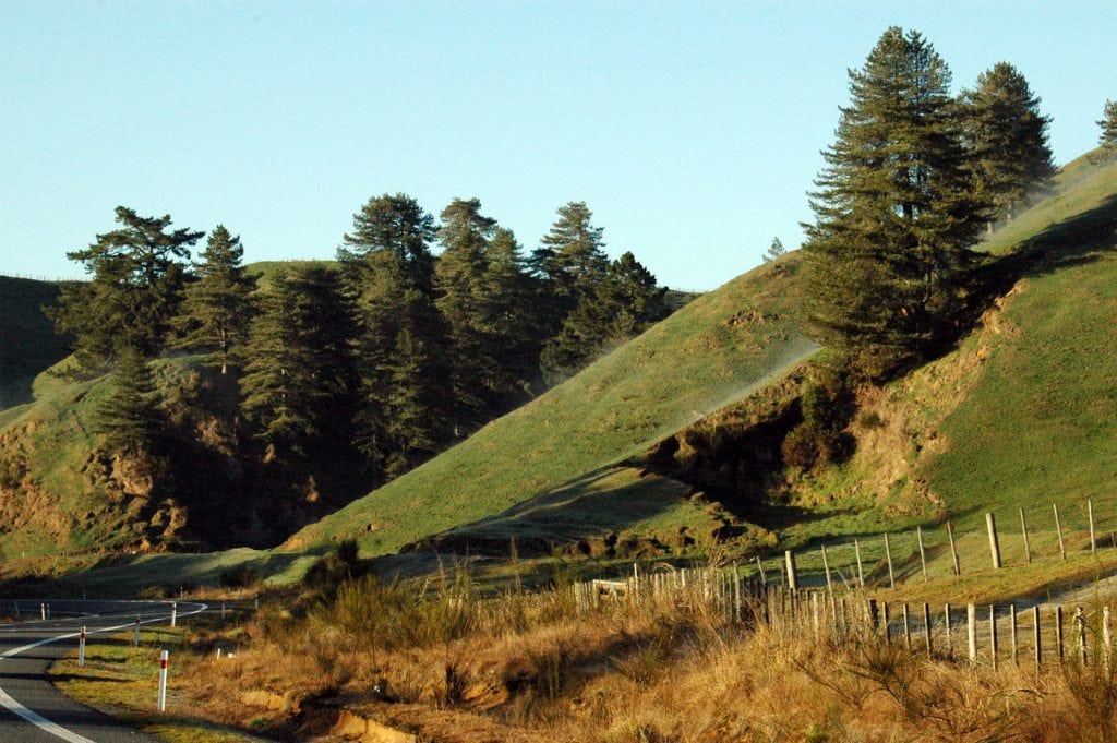
As part of the Pacific Ring of Fire, New Zealand is a zone of active plate collision; indeed, it is still in a continuous cycle of geological events, and the level of tectonic activity remains high. Each major earthquake has a large effect; in 1855 the coastline of Wellington Harbour was uplifted 1.5 metres, and in Napier’s 1931 earthquake about 40 square kilometres of sea bed became dry land.
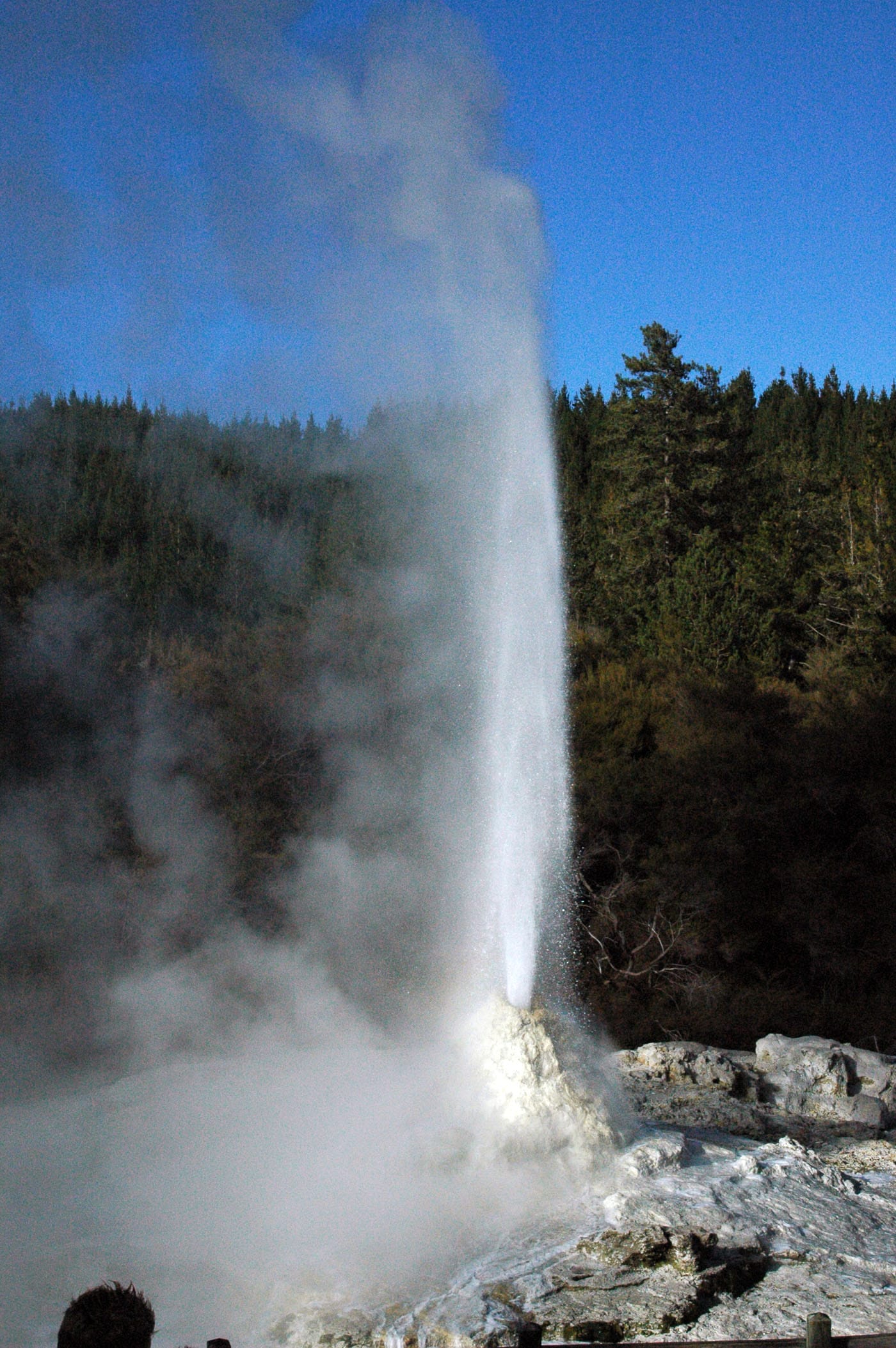
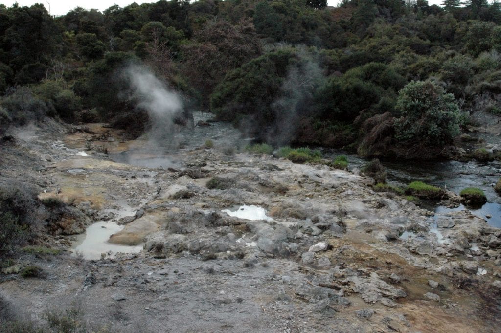
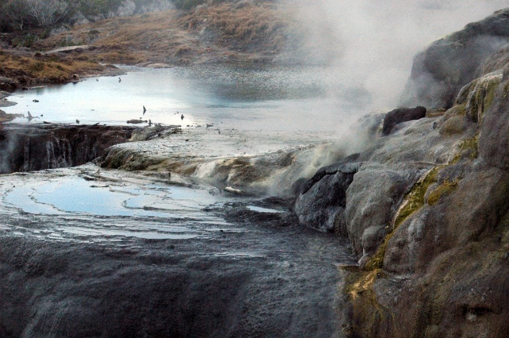
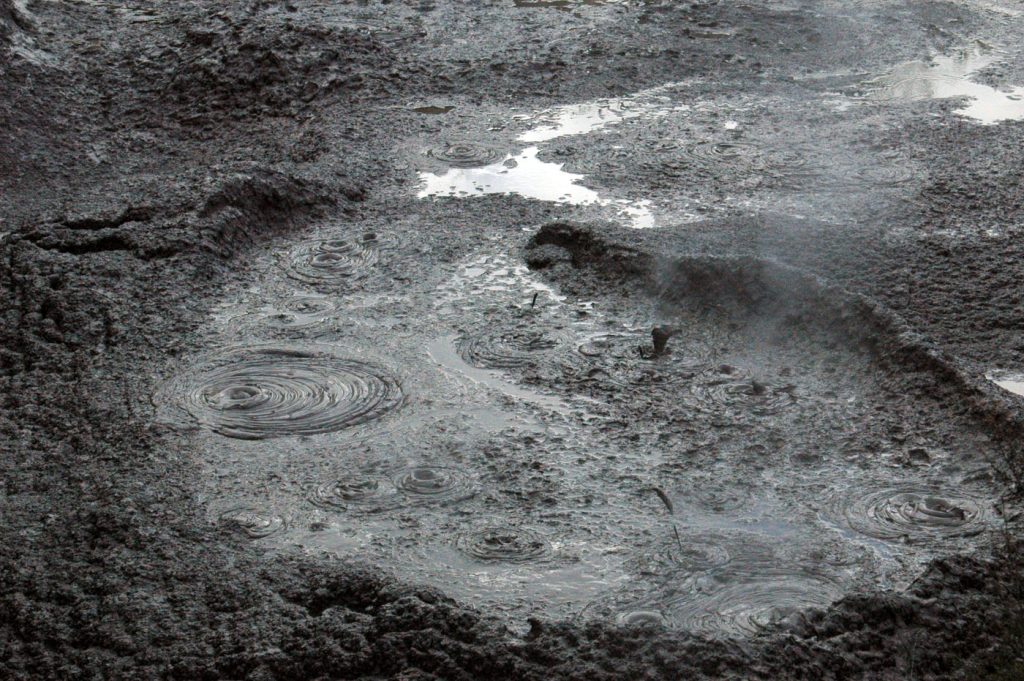
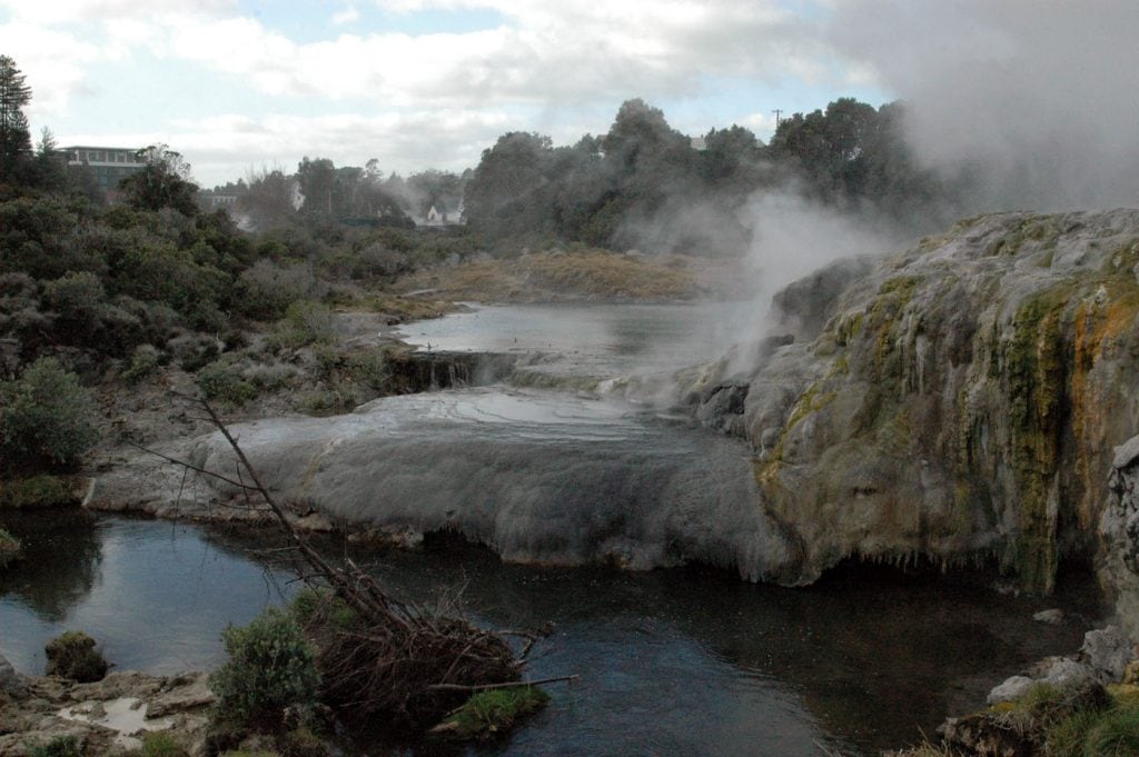
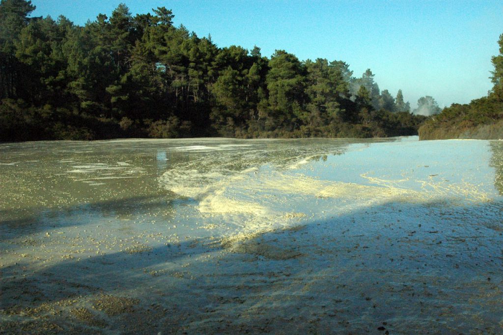
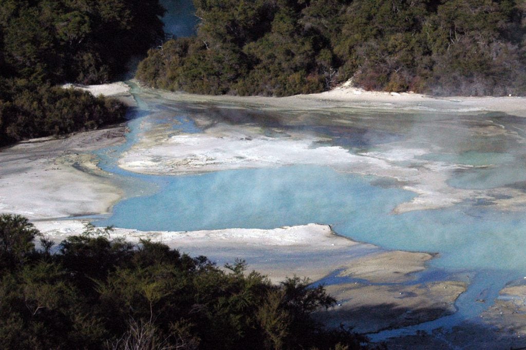
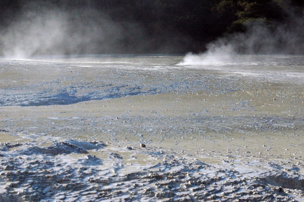
Rotorua
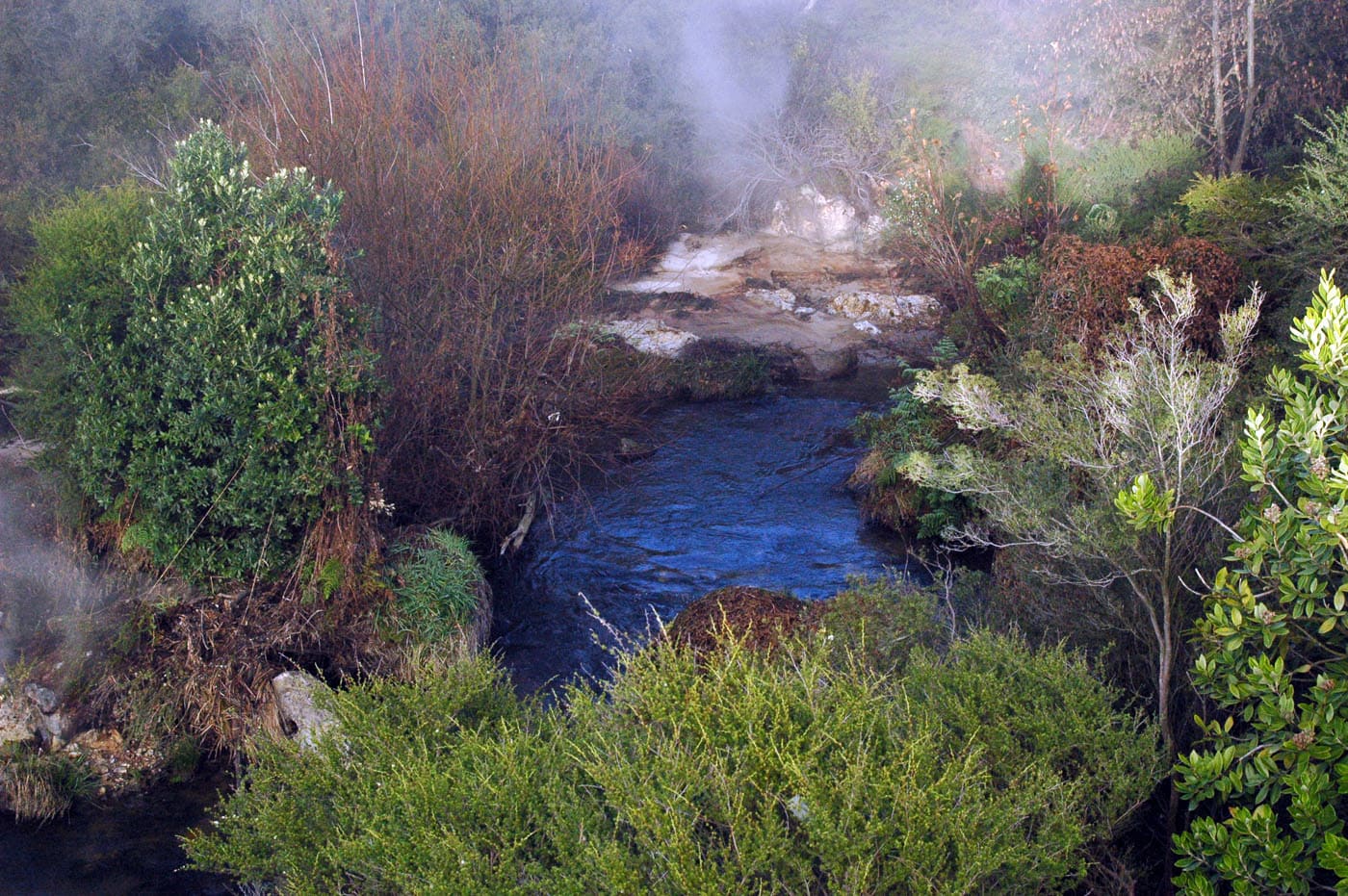
Rotorua has been settled by Māori of the Te Arawa Iwi in the 14th century who used the hot springs for cooking and bathing; lately, Europeans appreciated the health benefits of its hot pools. The city is a geothermal attraction with mud pools, geysers, and hot springs in its active thermal areas.

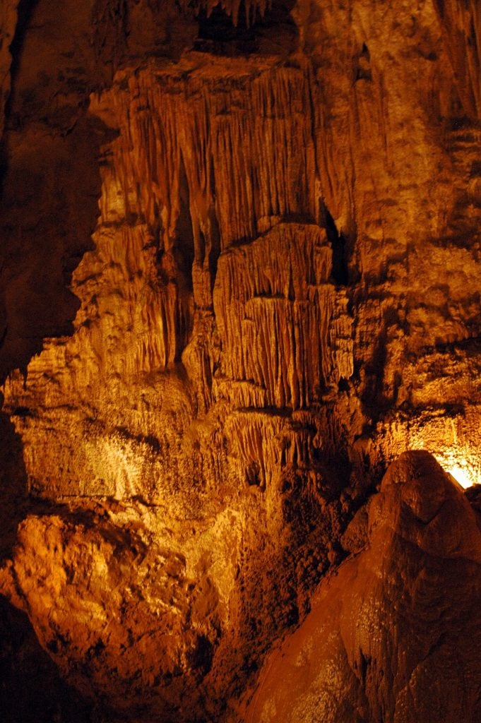
Waitomo Caves
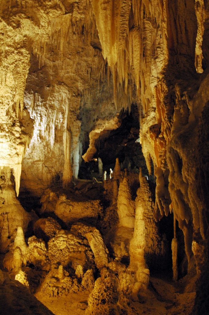
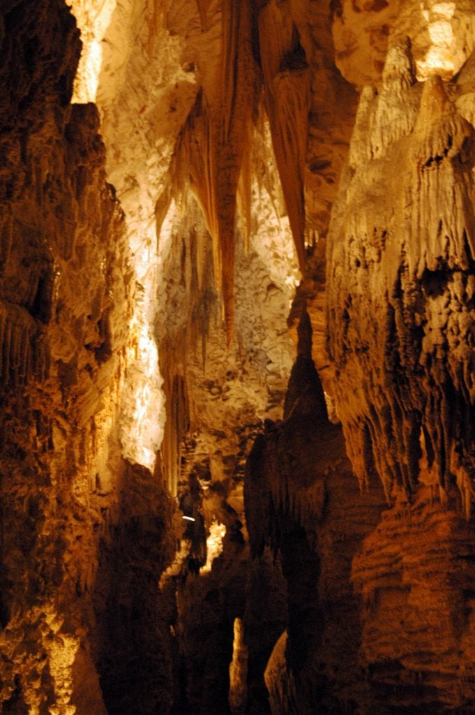
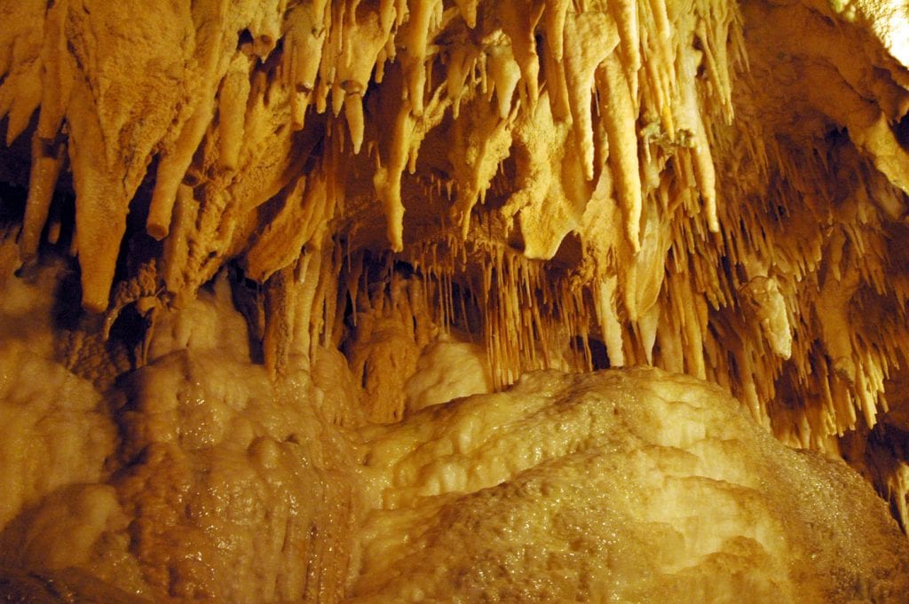
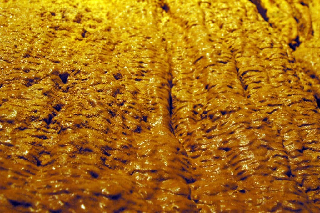
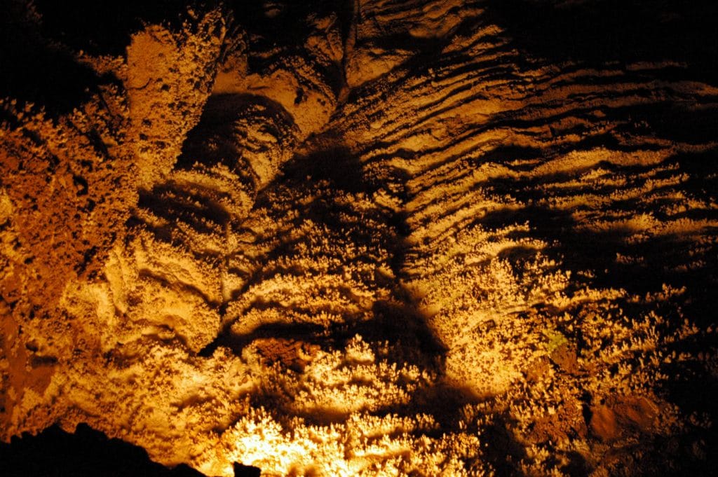
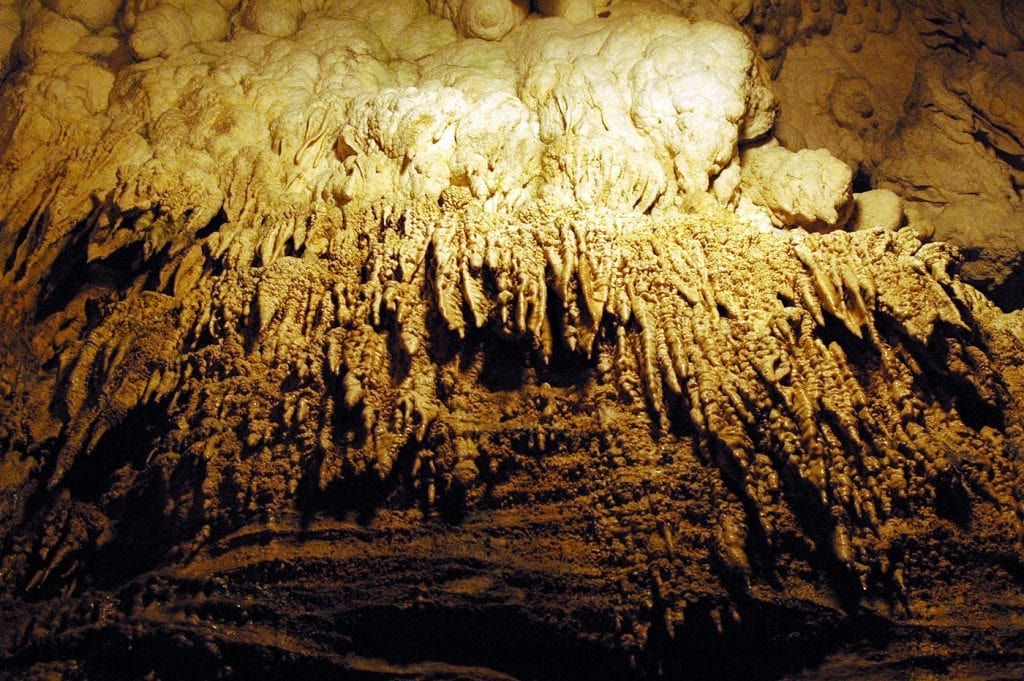
The word #Waitomo comes from the Māori language wai meaning water and tomo meaning a doline or sinkhole. Geological and volcanic activity has created around 300 known limestone caves in the Waitomo region over the last 30 million years. The limestone is composed of fossilized corals, seashells, fish skeletons, and many small marine organisms on the sea beds. Over millions of years, these fossilized rocks have been layered upon each other and compressed to create limestone that can be over 200 m thick.
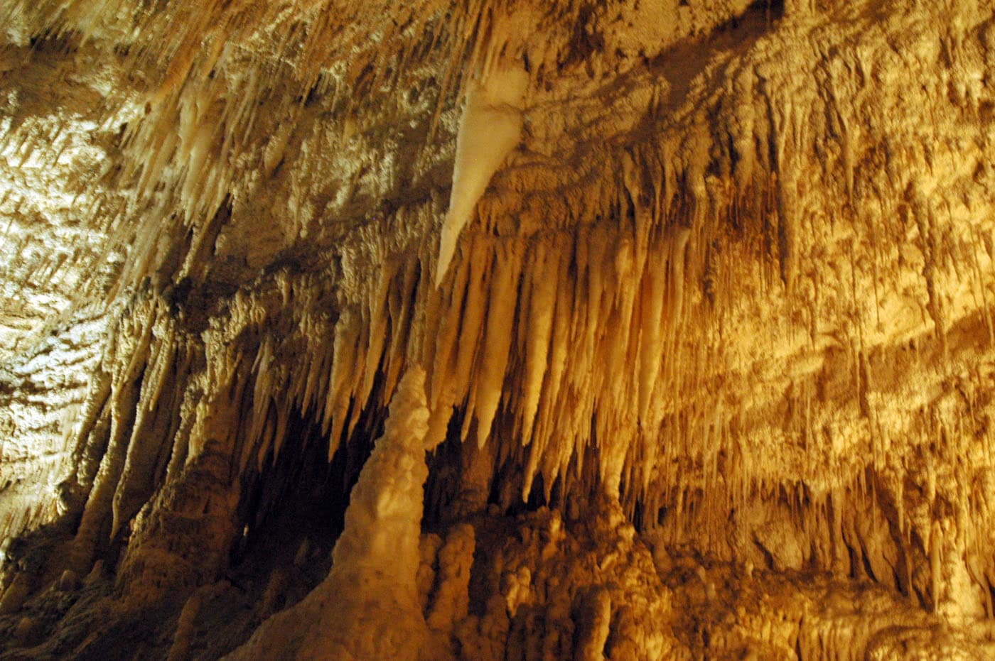
Earth movement caused the hard limestone to bend and buckle under the ocean and rise above the sea floor allowing for water to flow and dissolving the limestone. Thus, the caves begin to form in Oligocene (about 30 million years ago, indeed an average stalactite grows one cubic centimetre every 100 years) and have elaborate stalactites, stalagmites, and incrustations, some of which are named (Bride’s Jewels, Organ, White Terrace, Blanket Chamber). The main caves in the area are the Waitomo Glowworm Caves, Ruakuri Cave, Aranui Cave, and Gardner’s Gut famous for the presence of glowworms (the fungus gnat Arachnocampa luminosa) found exclusively in New Zealand.

Australia and Sydney as fast as possible


The Australian landmass has been part of all major super-continents but, as it has been mentioned above, researchers have made important geological correlations with Gondwanaland, the African continental mass, and Antarctica. Indeed, Australia is subject to compression from the three main collision boundaries located in New Zealand, Indonesia, and the Himalaya (transmitted through the Indian and Capricorn plates). Thus, it is likely that collisional orogeny occurred by interactions between the Australian crustal blocks, as well as intraplate processes that can occur within a context of plate tectonics.
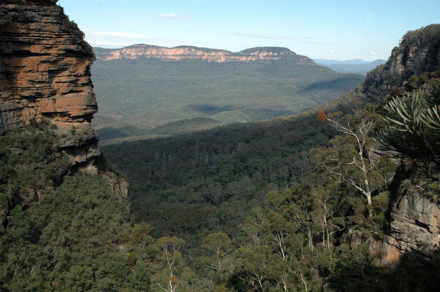
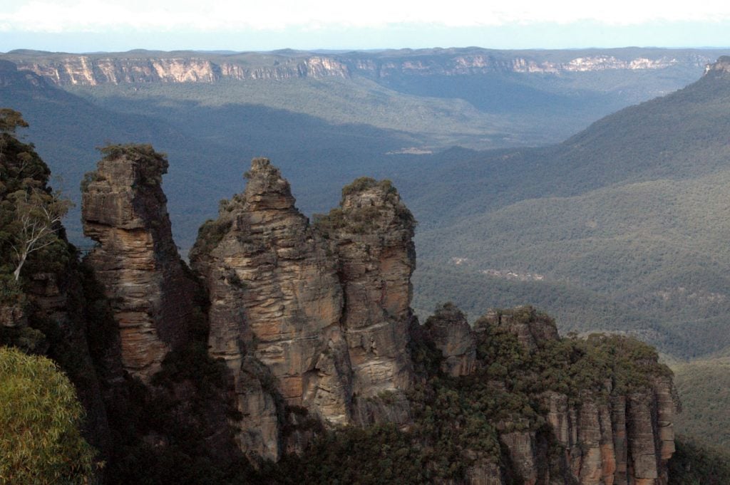
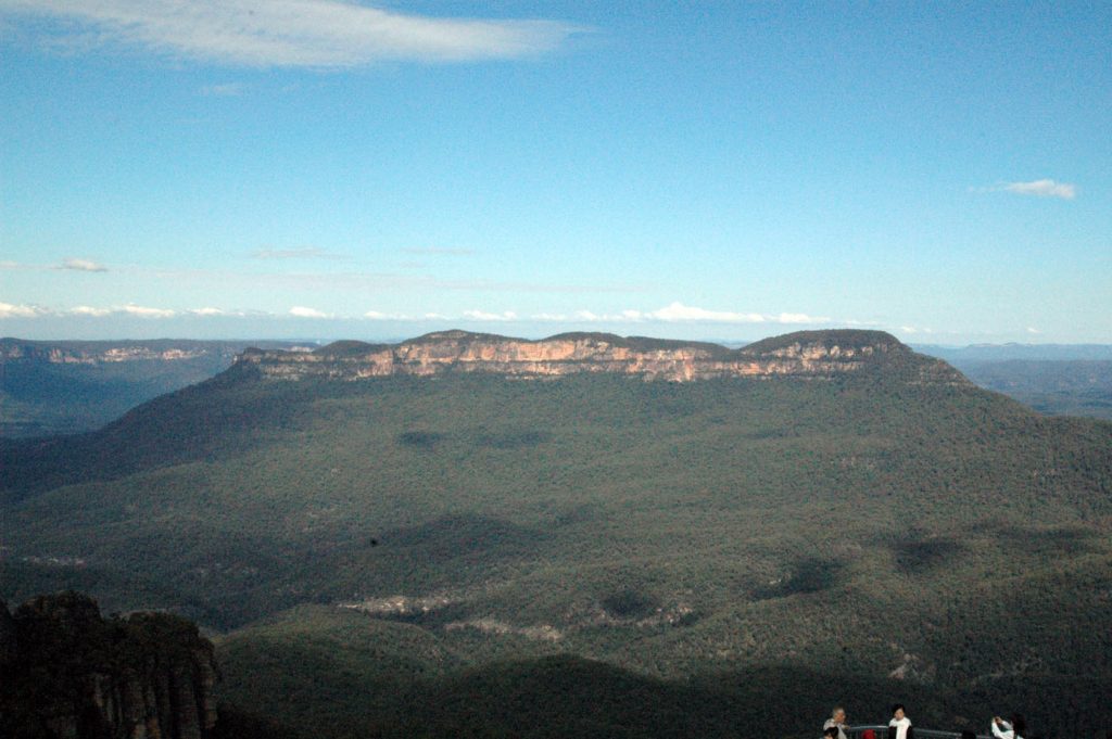
The Blue Mountains consists of an extensive mountainous region, escarpments, canyons, and plateaus in New South Wales; according to an ancient Aboriginal legend, the Katoomba rock formation derives its name from three sisters (Meehni, Wimlah and Gunnedoo) members of the Katoomba tribe. They fell in love with three men from the neighbouring Nepean tribe. The sisters were turned to stone to protect them from the tribal war for their love, but the elder was killed in the fighting, leaving the sisters as rock formations for the eternity. Charles Darwin (1809-1882) crossed the area via Cox’s Road in 1836 and speculated on the origin of the vast canyons and gorges; he thought the ocean as the powerful erosive force to carve out these valleys. However, Charles Wilkinson put forward the correct explanation, which is that the gorges have been eroded over geological time by the streams we see today. The Blue Mountains National Park is a UNESCO World Heritage Site where misty bluish haze drapes over the expanse of Jamison Valley, giving the mountains their name. The mist is made up of tiny droplets of oil from the 91 species of eucalyptus trees that grow there.

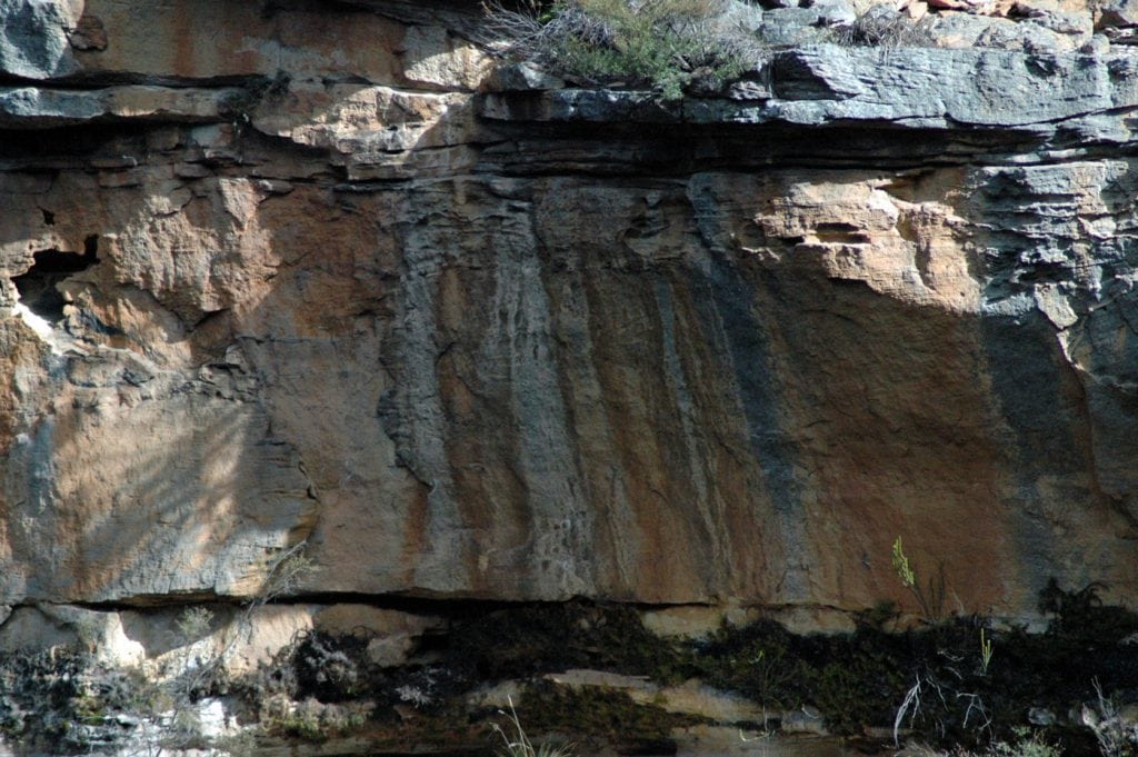
Cross-bedded channel sandstones

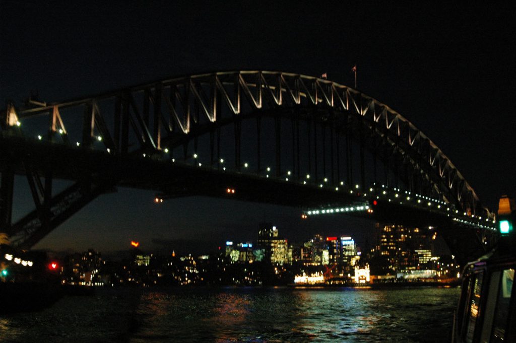
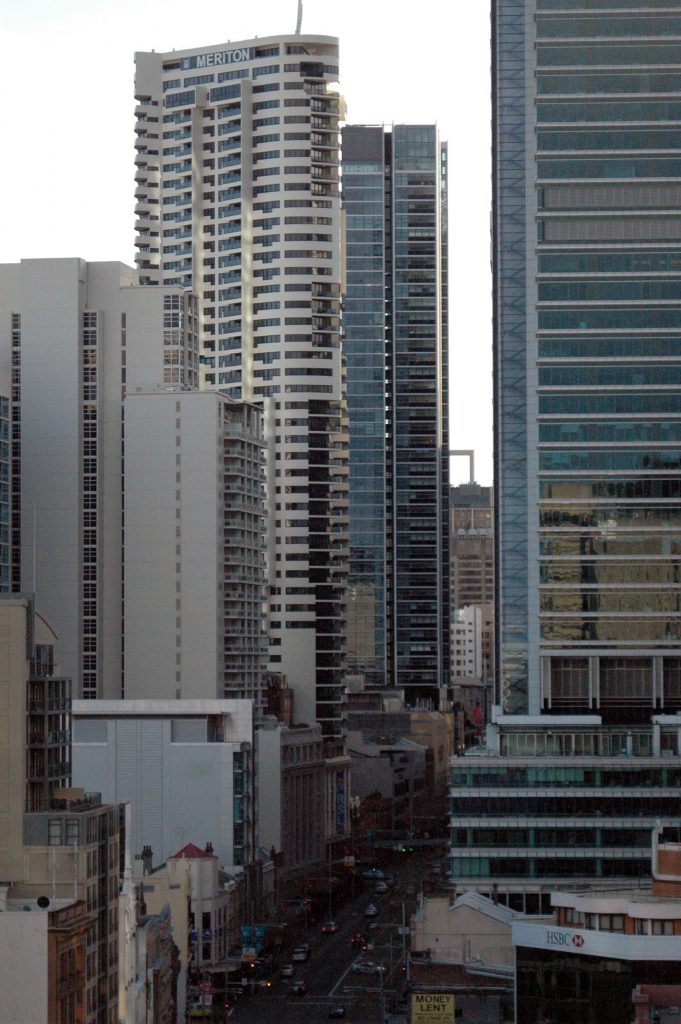
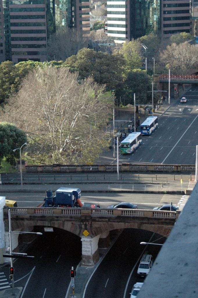
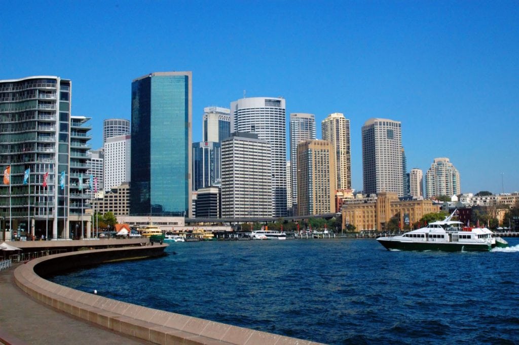
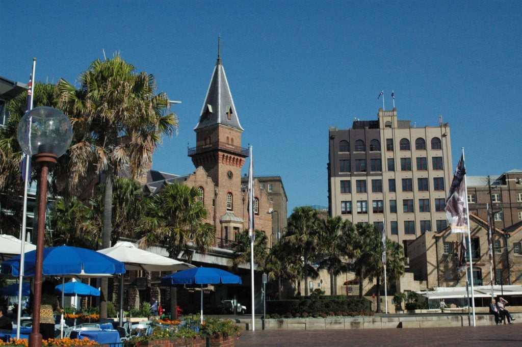
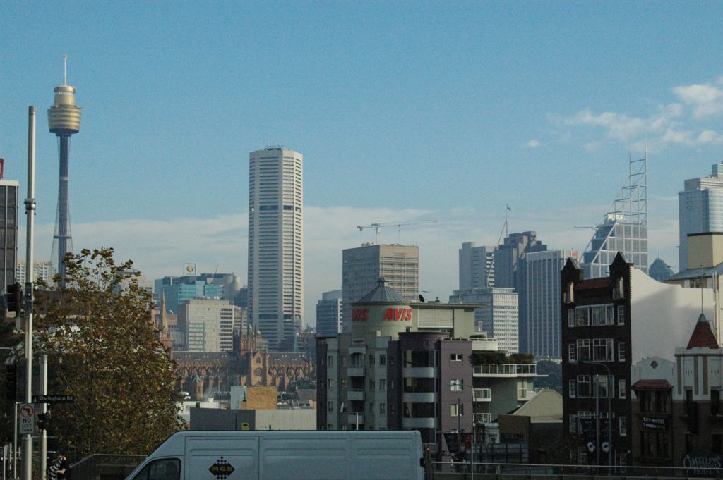
The architecture of Sydney is characterized by an extensive juxtaposition of old and new architecture over the city’s 200-year history, from its modest beginnings with local materials to its present-day modernity.

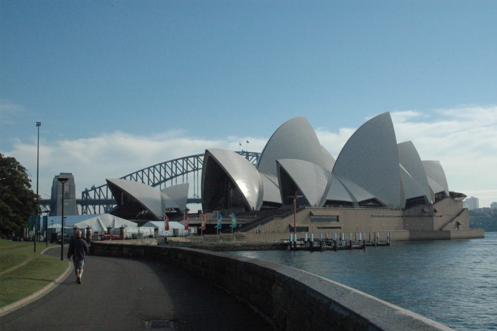
In order to enjoy the most of Sydney, you may rent a car or book a 40% discounted pre-packed tour offer including a 24 Hr Hop On Hop Off Bus, Blue Mountains Bus Explorer, entrance to the Sydney Aquarium, Taronga Zoo, Sydney Opera House, and other attractions.
References.
New Zealand Geology. Retrieved from https://www.gns.cri.nz/Home/Learning/Science-Topics/NZ-Geology
Wikipedia
Geology of the Blue Mountains. Retrieved from http://www.coxsroaddreaming.org.au/wp-content/uploads/Geol-Blue-Mtns_CSB_edited.pdf